Geographic Information System (GIS) and Web Mapping
Reference documents in Geographic Information System (GIS) and Web Mapping.
Documents in Geographic Information System (GIS) and Web Mapping
Page 1 of 1-
SAGA is a free Geographical Information System (GIS) with support for vector and - specially - raster data. This book describes the main features of SAGA, and its aimed at every user who wants to use the program whether as a learning tool (SAGA is a very good choice to discover GIS fundamentals) or as an all-purpose GIS with which develop "real" geographical analysis.
-
The latest general introduction with to maps, security, topographic map symbols, grids, the use of overlays, aerial photographs, land navigation, use of compass, orienteering and much more. This is the finest book available on the subject, and is used by the Armed Forces. Very well illustrated, you are lost without it.
-
The book provides up-to-date information on Location-Based Services (LBSs), including WiFi fingerprinting, geo-crowdsouring, and location privacy as well as application areas such as LBSs for public health, indoor navigation, pedestrian navigation, and advertising. Highlights include discussions of Location-Based Social Networking (LBSN) and the latest developments in geospatial clouds and how they can be used. It takes a look into the future with coverage of emerging technologies that will shape the future generation of LBSs.
-
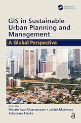
GIS is used today to better understand and solve urban problems. This book explores and illustrates the capacity that geo-information and GIS have to inform practitioners and other participants in the processes of the planning and management of urban regions.
-
This book discusses one of the challenges that has not been addressed by Geographic Information Science thus far: how can we use GIS to deal with the complex issues underlying the housing crisis? This book provides GIS technicians and analysts with an overview of US housing challenges and examples of how to effectively integrate spatial thinking to address housing policy questions.
-
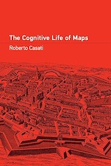
The “mapness of maps” - how maps live in interaction with their users, and what this tells us about what they are and how they work.
-
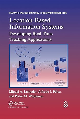
The book provides information and examples for creating real-time Location-Based Information Systems (LBIS) based on GPS-enabled cellular phones. covers all of the components needed to develop an LBIS.
-
Time-geography is a mode of thinking that helps us understand change processes in society, the wider context and the ecological consequences of human actions. This book brings together international time-geographic research from a range of disciplines.